
Tech giant Google has announced a new set of upgrades for Google Maps, bringing exciting AR-powered immersive features to the platform.
The application will soon feature an ‘Immersive Mode’ for a select few cities around the globe. Users can hover over a specific neighborhood or city area to quickly get an overview of what the location feels like. The app will also display information about the area, such as landmarks, venues, restaurants, and more. In addition to simply preparing for a trip or discovering hidden local gems, the Immersive Mode will enable users to get down on the ground for a more engaging experience.
Users can also check out a location during different times of the day, visit the busiest streets, and experience varied weather conditions. The application will allow users to seamlessly get down to the street level and explore local restaurants, displaying their interior design and other helpful information.
The Immersive Mode functionality is set to make its debut later this year in a select few cities, such as Los Angeles, London, New York, San Francisco, and Tokyo. The company will eventually roll out the feature to a more extensive selection of cities sometime in the future.
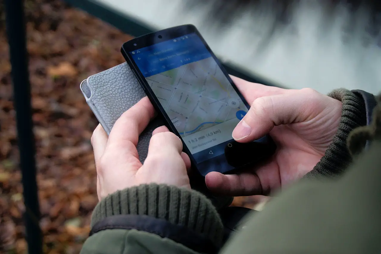
In addition to the new Immersive Mode, Google Maps is also bringing the eco-routing feature to Europe. It would enable the users to pick a more eco-friendly route when possible by showing options for a fuel-efficient way to their destination. Since its introduction to the US and Canada, the feature has saved over ‘half a million metric tons of carbon emissions.’
Lastly, the platform is also introducing Live View for intricate indoor locations, such as malls, airports, train stations, and hospitals. The feature will use augmented reality to provide users with directions within the location. Google is also allowing software developers to implement the ARCore Geospatial API to integrate live AR directions within their apps. The API has already been deployed by renters of e-scooters in London, Paris, Tel Aviv, Madrid, San Diego, and Bordeaux, enabling them to park the vehicles safely; concertgoers in Australia to locate their seats; and gamers in Tokyo to battle virtual dragons in an AR environment.
Follow us on LinkedIn
Read other Articles